Guide to Walkable Wellesley Neighborhoods & Village Life
Want to spend less time in your car and more time enjoying your neighborhood? If you are drawn to tree-lined streets, coffee runs on foot, and quick train rides into Boston, Wellesley’s village centers may fit your lifestyle. You will see how to choose the right address for daily walkability, how the commuter rail and last‑mile options work, and where the best trails and green spaces connect your errands and recreation. Let’s dive in.
Wellesley is organized around distinct village centers that the town actively supports as commercial hubs. You will feel it in places like Wellesley Square, Linden Square, Wellesley Hills, Wellesley Farms, and the Lower Falls area. The mix of shops, cafes, civic spaces, and short blocks makes these cores feel like classic New England villages rather than a single downtown. You can explore how the town frames these centers on its Economic Development page to orient your search near the most walkable blocks. Town of Wellesley Economic Development overview.
Townwide, Wellesley earns a Walk Score around 37, which is considered car dependent. The key is that the ZIP codes covering the village cores, 02481 and 02482, are notably more walkable. If you choose an address close to a village center or train stop, a car‑light routine is practical for many days of the week. Walk Score summary for Wellesley.
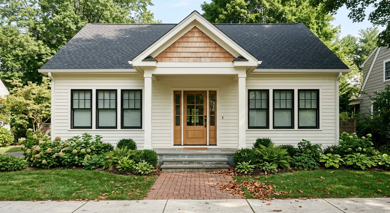
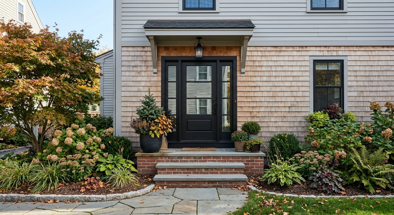
This is Wellesley’s primary downtown and the most complete cluster for a walkable routine. You will find a concentration of independent shops, restaurants, and services set along short blocks with inviting sidewalks. The Wellesley Square commuter-rail station anchors one side, and the main library at 530 Washington Street is an easy stroll for quick returns or holds. The merchant energy in Wellesley Square pairs with the adjacent Linden Square plaza so you can loop errands, grocery at the historic Roche Bros. location, and grab a coffee without moving your car. Explore the broader station context and town rail info for trip planning. MBTA station overview and local updates.
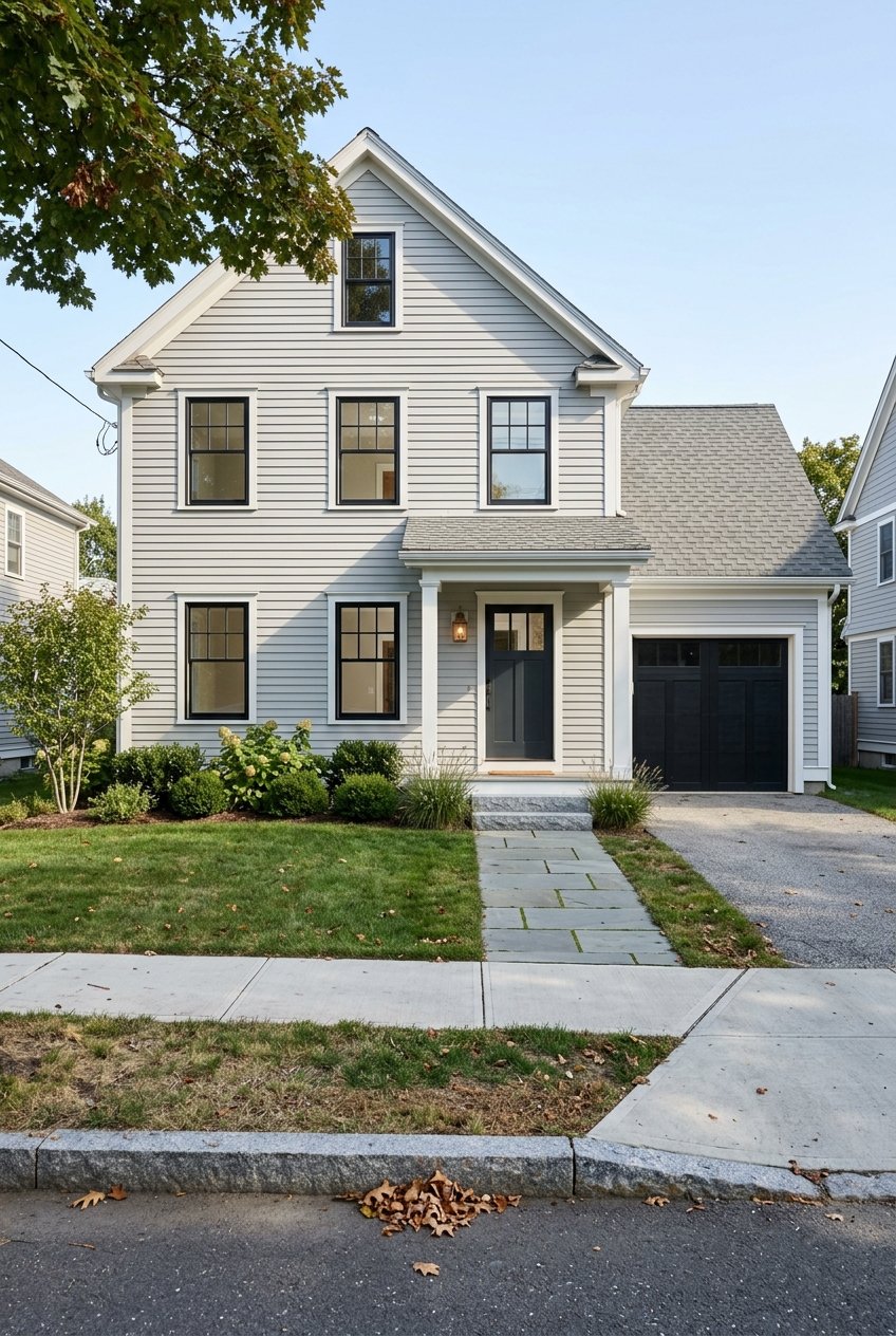
Wellesley Hills stretches along Washington Street with a village-scale retail spine, local bakeries, and services. The Wellesley Hills commuter-rail stop sits right in the mix, so you can combine a morning train with a midday walk for errands. The nearby Fuller Brook Path, known locally as the Brook Path, threads through green space and boosts walkability for short trips or daily runs.
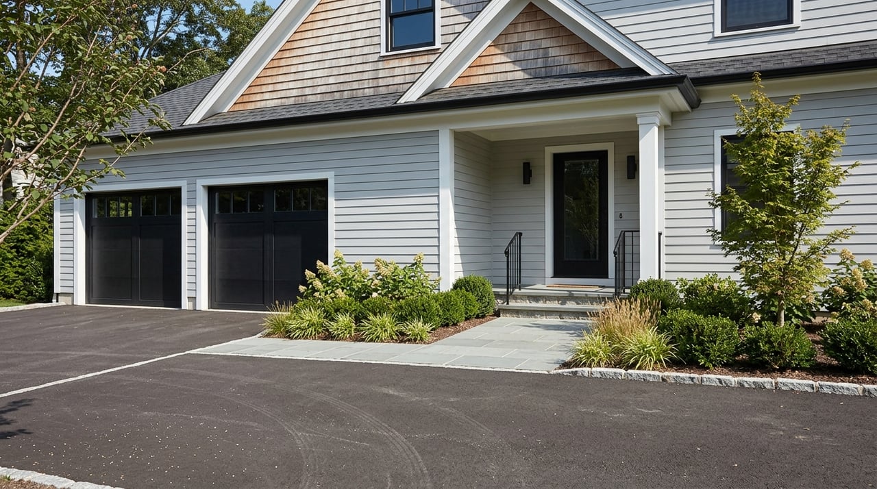
Prefer a quieter feel with a small green and calm streets? Wellesley Farms offers a compact set of local spots, a handsome historic station, and quick connections for commuters who want a low-key base with short on-foot routines.
Set along the Charles River at the Newton line, Lower Falls brings scenic river views, a smaller commercial strip, and easy trail access. It has a classic village scale without the bustle of a big downtown. For nearby walking routes and river-edge loops, see the town’s trail resources. Town trails and Charles River Link Trail.
Wellesley has three stations on the MBTA Framingham/Worcester Line — Wellesley Square, Wellesley Hills, and Wellesley Farms. Trains provide one-seat rides to Back Bay and South Station. Typical door-to-door trips into Boston are often 30 to 45 minutes, depending on your train, first or last‑mile step, and time of day. Always check current schedules and any service notices before you go. Start with the town’s go-to local coverage and a representative timetable to estimate your options. Local station overview and Framingham/Worcester Line schedule snapshot.
If you live a bit farther from a station, on-demand microtransit can help. CatchConnect service in Wellesley has been promoted for first and last‑mile trips to MBTA stops and local shopping or medical destinations. Service zones and hours can change, so confirm current details before booking. Sustainable Wellesley transportation updates.
Some residents also use nearby Green Line D branch stations such as Riverside in Newton for more frequent subway service into Back Bay and Copley. It can be a short drive or microtransit hop, which is a smart trade when you want subway frequency rather than commuter-rail timing.
Wellesley’s green network is one of the best parts of a car‑light lifestyle here. The town sits on the regional Charles River Link Trail, with segments that tie together conservation land and riverside paths you can reach from several villages. The town also maintains a helpful menu of favorite walk routes for quick, scenic outings. Town trails and Charles River Link Trail.
Wellesley is a premium market. Zillow’s local index put the typical home value around 1.9 million dollars as of January 2026, which sits near the top of MetroWest suburbs. That matters if you plan to trade yard space for a smaller house or condo near a village center. Inventory in these walkable blocks is limited and tends to price at a premium. Zillow Wellesley snapshot, Jan 2026.
If you want to compare walkable suburban options, Redfin’s January 2026 data shows Brookline with strong village-center walkability served by the Green Line and a median sale price around 1.6 million dollars. Newton also blends multiple village types with Green Line pockets and premium pricing. The tradeoff is clear. Brookline and Newton offer more frequent rapid transit and denser retail. Wellesley offers distinct, calmer village centers with direct commuter rail and rich green space. Redfin Brookline market snapshot, Jan 2026.
For downsizers focused on walkability, a few practical rules help:
Here is a simple way to picture your week.
The key to living car‑light in Wellesley is address selection. Start by narrowing to the village cores that fit your routine, then confirm your first and last‑mile options to the commuter rail or Green Line. Check current MBTA schedules for your target departure times, and map your five or ten minute walking loops to parks, groceries, and the library. If you want help matching that lifestyle to the right property, the Batya & Alex Team can share local insight, real-time market data, and on‑the‑ground options near Wellesley’s most walkable blocks.


Our team will elevate your real estate experience, ensuring sellers shine and buyers win in Greater Boston's competitive market. Our dedication goes beyond deals—we're about making dreams a reality, building lasting bonds, and turning complex market challenges into rewarding outcomes for every client.